more rides coming ...
There are 23 signed MTB routes from Bagneres de Bigorre giving a total of 373km of off-road riding. Here is a short selection (what we've ridden so far - and taken the camera with us!).
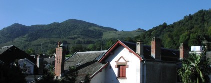
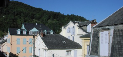
Bagneres de Bigorre is at 548m, most of the rides go up!
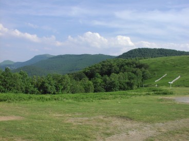
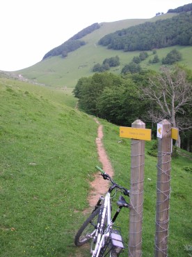
View from the Col des Palomieres, 810m (end of the road bit) looking up to where where you're headed.
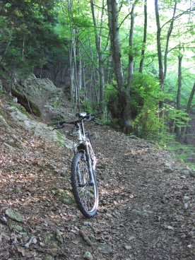
Junction with route 6, 963m, about half-way up the off-raod climb, it gets steeper and more technical from here.
Nearing the top of the climb (approx 1280m), view across to the route down
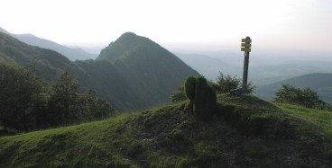
At the top of the climb (1300m), with Casque du Lheris in background to the left
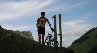
I got here too (not just the bike!)
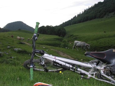
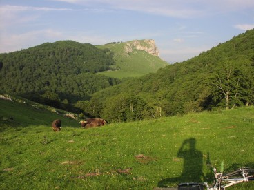
Waiting for the cows to pass before heading down, route up is on the right of the gully
Looking back to the track up and the Casque du Lheris. Photo taken from Pla d'Espet
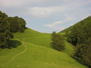
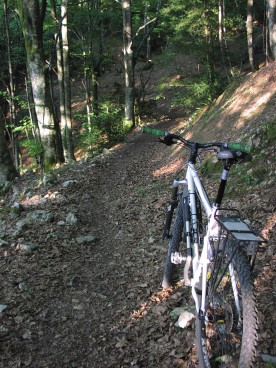
View back up the trail from near Courtaou du Teilhet
View looking north-west ish, just before descending into the trees and switchbacks to Aste
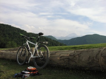
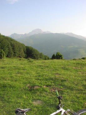
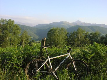
View across to the Pic du Midi du Bigorre
North-shore style descent back down to Aste
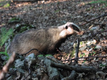
local wildlife
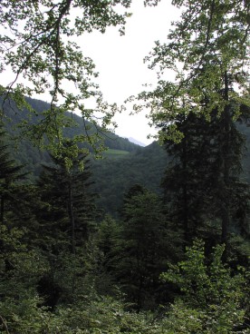
Actually I got a little lost so this view isnt form route 12!